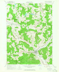
1964 Map of Ellicottville
USGS Topo · Published 1965About this map
The village of Ellicottville serves as the focal point for this 1960s study of Cattaraugus County, appearing here at a moment of significant recreational growth. The rise of the regional ski industry is clearly documented by the presence of the Holimont Ski Club, Holiday Valley Ski Club, and Poverty Hill Ski Club carving through the surrounding high ground. These modern additions contrast with the established agricultural and transport patterns of the era, notably the Baltimore and Ohio railroad which follows the path of Great Valley Creek through the valley floor.
Find a feature on this map
53 named features on this map. Tap any name to fly to it.
Don’t see what you’re looking for? This feature index may not catch every label — zoom into the map to look around manually.
Map Details
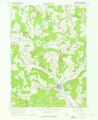
Editions of this 1964 Ellicottville Map
2 editions found
Other maps of this area

1900 · Salamanca
USGS Topo · 1:62,500

1922 · Randolph
USGS Topo · 1:62,500

1923 · Randolph
USGS Topo · 1:62,500

1923 · Cattaraugus
USGS Topo · 1:62,500

1924 · Ellicottville
USGS Topo · 1:62,500

1938 · Cattaraugus
USGS Topo · 1:62,500

1938 · Salamanca
USGS Topo · 1:62,500

1941 · Cattaraugus
USGS Topo · 1:62,500

1941 · Ellicottville
USGS Topo · 1:62,500

1943 · Randolph
USGS Topo · 1:62,500