
Loading...
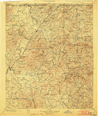
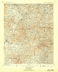
Loading map...1892 Map of Ellijay
USGS Topo · Published 1892About this map
The Marietta and North Georgia Railroad serves as the central artery for this North Georgia mountain region, winding through the Blue Ridge terrain toward the Tennessee and North Carolina borders. The 1880s surveying efforts recorded a landscape of high summits and isolated settlements, including Ellijay at the confluence of the Ellijay River and Carticay River. Local commerce is anchored by landmarks like Vanzant's Store and the town of Morganton.
Find a feature on this map
142 named features on this map. Tap any name to fly to it.
Don’t see what you’re looking for? This feature index may not catch every label — zoom into the map to look around manually.
Map Details
Date Portrayed1892
Date Published1892
PublisherU.S. Geological Survey
Map TypeTopographic
Scale1:125000
Physical Dimensions15.99 x 20.27 inches
Editions of this 1892 Ellijay Map
This is the sole edition of this map. No revisions or reprints were ever made.
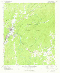
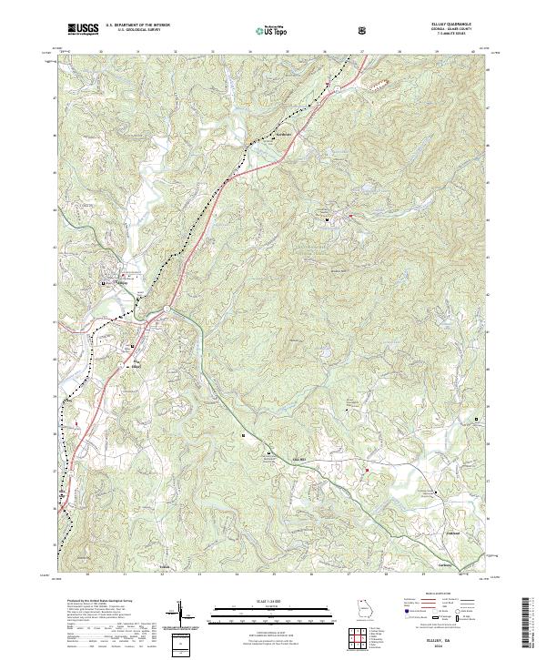
Historical Maps of Lewner Through Time
6 maps found

Featured Locations
Source Details
SourceU.S. Geological Survey
CopyrightPublic Domain