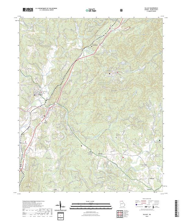
2024 Map of Ellijay
USGS Topo · Published 2024About this map
The confluence of the Ellijay River and the Cartecay River forms the Coosawattee River in this detailed survey of Gilmer County's mountain landscape. The town of Ellijay serves as the central hub, anchored by the Gilmer County Courthouse, while surrounding settlements like Northcutt, Oak Hill, and Cartecay are defined by their local congregations and burial grounds. For genealogists, the map is particularly rich in family history data, locating the Northcutt Cem, Jarrett Cem, and Flint Hill Cem, alongside several church-affiliated cemeteries such as Turniptown Baptist Church Cem.
Find a feature on this map
89 named features on this map. Tap any name to fly to it.
Don’t see what you’re looking for? This feature index may not catch every label — zoom into the map to look around manually.
Map Details
Editions of this 2024 Ellijay Map
This is the sole edition of this map. No revisions or reprints were ever made.
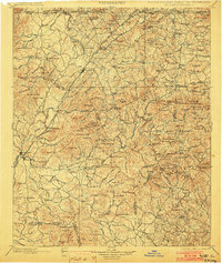
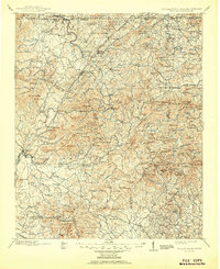
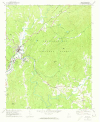
Historical Maps of Ellijay Through Time
6 maps found