Loading...
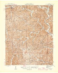
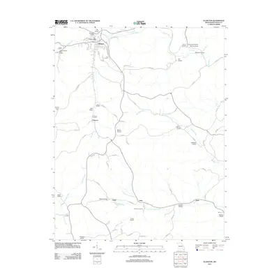
Loading map...1945 Map of Ellington
USGS Topo · Published 1945About this map
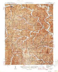
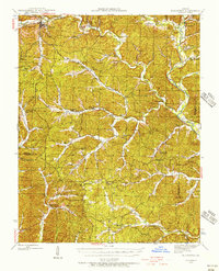
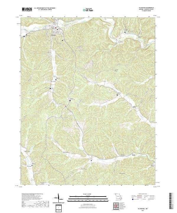
The Black River and its intricate network of tributaries define the Ozark landscape on this 1940s survey of Reynolds and Carter Counties. At the eastern edge, Clearwater Dam stands as a massive structural landmark near Riverside. The terrain is characterized by a dense distribution of rural institutions, particularly one-room schools like Wayne Sch, Bethlehem Sch, and Buffington Sch that served the dispersed timber and farming communities of the era.
Find a feature on this map
52 named features on this map. Tap any name to fly to it.
Don’t see what you’re looking for? This feature index may not catch every label — zoom into the map to look around manually.
Map Details
Date Portrayed1945
Date Published1945
PublisherU.S. Geological Survey
Map TypeTopographic
Scale1:62,500
Physical Dimensions17.08 x 21.36 inches
Editions of this 1945 Ellington Map
2 editions found
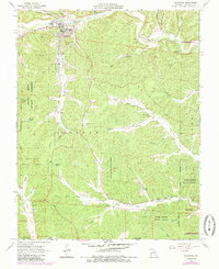
Historical Maps of Ellington Through Time
7 maps found
Featured Locations
Source Details
SourceU.S. Geological Survey
CopyrightPublic Domain