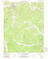
1968 Map of Ellington
USGS Topo · Published 1985About this map
Ellington serves as the primary hub in this portion of Reynolds County, surrounded by a complex network of forested valleys and small family cemeteries. The landscape is defined by the deep incisions of Logan Creek and Webb Creek, where early settlers established small churches and burial grounds in the hollows. Genealogists will find a high density of named sites, from the Ellington Memorial Cem near the town center to the remote Upper Doe Run Cem and Bethlehem Cem further south. The timber and transport history of the region is evident in the Old Railroad Grade winding through the western hills and the presence of the Deer Run Lookout Tower, which monitored the extensive timberlands of the Deer Run State Forest. Minor settlements like Ruble and secluded gathering places such as Pine Valley Ch reflect the dispersed rural character of the Ozark foothills during the mid-twentieth century.
Find a feature on this map
52 named features on this map. Tap any name to fly to it.
Don’t see what you’re looking for? This feature index may not catch every label — zoom into the map to look around manually.
Map Details
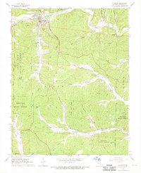
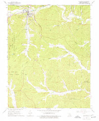
Editions of this 1968 Ellington Map
3 editions found
Other maps of this area

1928 · Cardareva
USGS Topo · 1:62,500

1943 · Ellington
USGS Topo · 1:62,500

1943 · Lesterville
USGS Topo · 1:62,500

1944 · Corridon
USGS Topo · 1:62,500

1945 · Ellington
USGS Topo · 1:62,500

1946 · Lesterville
USGS Topo · 1:62,500

1947 · Corridon
USGS Topo · 1:62,500

1949 · Rolla
USGS Topo · 1:250,000

1949 · Cardareva
USGS Topo · 1:62,500

1953 · Rolla
USGS Topo · 1:250,000