
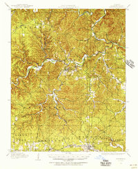
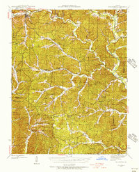
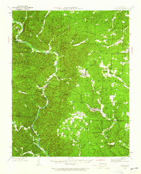
1949 Map of Cardareva
USGS Topo · Published 1957About this map
The Current River defines the central topography of this Missouri landscape, winding through a series of dramatic bends and bluffs. Before modern bridges dominated the region, local transit relied on numerous named crossings such as Goose Bay Ford, Cardareva Ford, and Powder Mill Ford. These fords connected isolated settlements and rural schoolhouses, including the Whitehall School near Red Rock and the Cardareva School.
Find a feature on this map
120 named features on this map. Tap any name to fly to it.
Don’t see what you’re looking for? This feature index may not catch every label — zoom into the map to look around manually.
Map Details
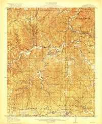
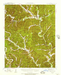
Editions of this 1949 Cardareva Map
This is the sole edition of this map. No revisions or reprints were ever made.
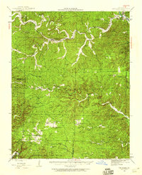
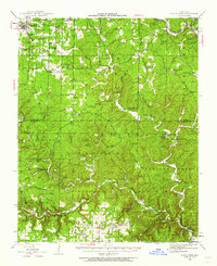
Other maps of this area
1915 · Eminence
USGS Topo · 1:62,500
1917 · Eminence
USGS Topo · 1:62,500
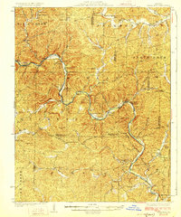
1928 · Cardareva
USGS Topo · 1:62,500
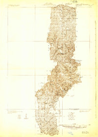
1931 · Bandyville
USGS Topo · 1:48,000
1943 · Ellington
USGS Topo · 1:62,500
1943 · Lesterville
USGS Topo · 1:62,500
1944 · Van Buren
USGS Topo · 1:62,500
1944 · Birch Tree
USGS Topo · 1:62,500
1944 · Grandin
USGS Topo · 1:62,500
1944 · Corridon
USGS Topo · 1:62,500