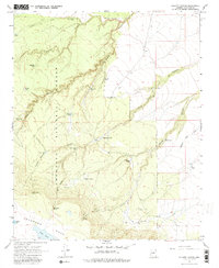
1968 Map of Elliott Canyon
USGS Topo · Published 1981About this map
Coconino National Forest defines this high desert landscape, where a sophisticated network of water catchment systems supported ranching and resource management in the late 1960s. The map reveals dozens of named tanks and springs, such as Billy Back Spring, Yellow Jacket Spring, and Elliott Spring, which provided essential water in a terrain carved by deep drainages like Mormon Canyon and Padre Canyon. Toward the southern edge, the plateau rises into Anderson Mesa, bordering the shores of Indian Lake and the elongated basin of Long Lake. This survey is particularly useful for identifying early 20th-century land use, showing several sites marked as Ruins and numerous Drill Hole locations, alongside the historic Elliott Trail winding through the canyons.
Find a feature on this map
39 named features on this map. Tap any name to fly to it.
Don’t see what you’re looking for? This feature index may not catch every label — zoom into the map to look around manually.
Map Details
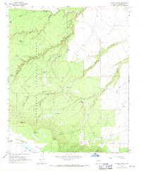
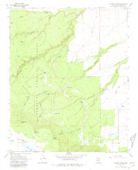
Editions of this 1968 Elliott Canyon Map
3 editions found
Other maps of this area

1886 · San Francisco Mtns
USGS Topo · 1:250,000

1887 · Verde
USGS Topo · 1:250,000

1891 · San Francisco Mtns
USGS Topo · 1:250,000

1892 · Verde
USGS Topo · 1:250,000

1894 · San Francisco Mtns
USGS Topo · 1:250,000

1899 · San Francisco Mtns
USGS Topo · 1:250,000

1947 · Flagstaff
USGS Topo · 1:250,000

1954 · Flagstaff
USGS Topo · 1:250,000

1954 · Holbrook
USGS Topo · 1:250,000

1957 · Holbrook
USGS Topo · 1:250,000