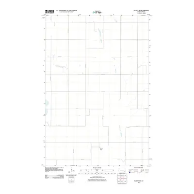
2011 Map of Elliott SW
USGS Topo · Published 2011About this map
Widmer Strip stands out as a unique private or localized aviation marker within the expansive agricultural landscape of Ransom County. This area of North Dakota is defined by a rigid section-line road network, where routes like 72nd St SE and 121st Ave SE segment the prairie into precise parcels. The map reveals a collection of scattered prairie potholes and small depressions, characteristic of the region’s glacial history, which dot the fields between 116th Ave SE and 118th Ave SE. This survey reflects the modern rural organization of the plains, documenting the essential transport corridors and occasional specialized landmarks that support the local farming economy.
Find a feature on this map
15 named features on this map. Tap any name to fly to it.
Don’t see what you’re looking for? This feature index may not catch every label — zoom into the map to look around manually.
Map Details
Editions of this 2011 Elliott SW Map
This is the sole edition of this map. No revisions or reprints were ever made.
Other maps of this area

1894 · Oakes
USGS Topo · 1:62,500

1895 · Lamoure
USGS Topo · 1:125,000

1918 · La Moure
USGS Topo · 1:125,000

1952 · Oakes
USGS Topo · 1:24,000

1952 · Crete
USGS Topo · 1:24,000

1953 · Jamestown
USGS Topo · 1:250,000

1953 · Fargo
USGS Topo · 1:250,000

1956 · Fargo
USGS Topo · 1:250,000

1956 · Jamestown
USGS Topo · 1:250,000

1957 · Elliott SW
USGS Topo · 1:24,000