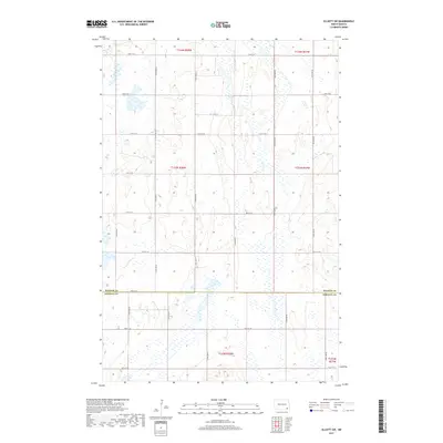
2017 Map of Elliott SW
USGS Topo · Published 2017About this map
The boundary between Ransom Co and Sargent Co bisects this landscape, defined primarily by a rigorous grid of section lines and gravel roads. In this portion of southeastern North Dakota, the natural terrain is characterized by an extensive network of wetlands and small water bodies that persist despite the organized agricultural layout. The road network, including corridors such as 78th St SE and 118th Ave SE, follows the Public Land Survey System (PLSS) townships of t133n r58w and t133n r57w. This survey provides a clear view of the rural infrastructure at a time when the interplay between seasonal water levels and cultivated land remains the dominant geographic feature of the township.
Find a feature on this map
24 named features on this map. Tap any name to fly to it.
Don’t see what you’re looking for? This feature index may not catch every label — zoom into the map to look around manually.
Map Details
Editions of this 2017 Elliott SW Map
This is the sole edition of this map. No revisions or reprints were ever made.
Other maps of this area

1894 · Oakes
USGS Topo · 1:62,500

1895 · Lamoure
USGS Topo · 1:125,000

1918 · La Moure
USGS Topo · 1:125,000

1952 · Oakes
USGS Topo · 1:24,000

1952 · Crete
USGS Topo · 1:24,000

1953 · Jamestown
USGS Topo · 1:250,000

1953 · Fargo
USGS Topo · 1:250,000

1956 · Fargo
USGS Topo · 1:250,000

1956 · Jamestown
USGS Topo · 1:250,000

1957 · Elliott SW
USGS Topo · 1:24,000