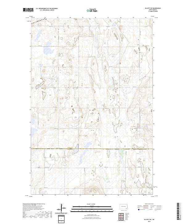
2024 Map of Elliott SW
USGS Topo · Published 2024About this map
Glacial prairie potholes and marshy wetlands define the landscape of this southeastern North Dakota region. Spanning the border of Ransom and Sargent Counties, the map highlights the preservation of critical habitats within the Ransom County Waterfowl Production Area and the Sargent County Waterfowl Production Area. These protected areas, along with smaller parcels like Rcwpa and Rc Wpa, reflect a terrain dominated by low-lying depressions and water-filled basins characteristic of the region’s hydrology.
Find a feature on this map
28 named features on this map. Tap any name to fly to it.
Don’t see what you’re looking for? This feature index may not catch every label — zoom into the map to look around manually.
Map Details
Editions of this 2024 Elliott SW Map
This is the sole edition of this map. No revisions or reprints were ever made.
Other maps of this area

1894 · Oakes
USGS Topo · 1:62,500

1895 · Lamoure
USGS Topo · 1:125,000

1918 · La Moure
USGS Topo · 1:125,000

1952 · Oakes
USGS Topo · 1:24,000

1952 · Crete
USGS Topo · 1:24,000

1953 · Jamestown
USGS Topo · 1:250,000

1953 · Fargo
USGS Topo · 1:250,000

1956 · Fargo
USGS Topo · 1:250,000

1956 · Jamestown
USGS Topo · 1:250,000

1957 · Elliott SW
USGS Topo · 1:24,000