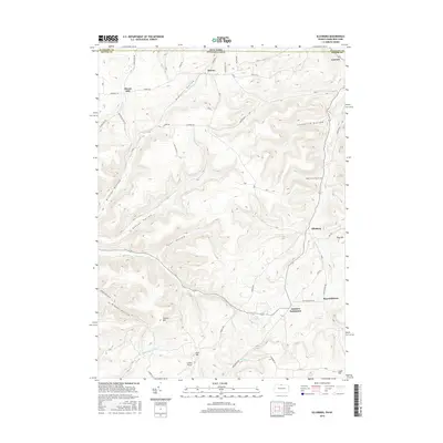
2016 Map of Ellisburg
USGS Topo · Published 2016About this map
Ellisburg and Andrews Settlement anchor the south-central portion of this landscape where the Pennsylvania and New York border meets. The terrain is deeply incised by a series of hollows, including Leadville Hollow, Nelson Hollow, and McGinnis Hollow, which funnel local drainage into the Oswayo Cr. This valley system dictates the placement of rural corridors like Reynoldstown Rd and Cemetary Rd, connecting small clusters of habitation such as Reynoldstown and Genesee.
Find a feature on this map
69 named features on this map. Tap any name to fly to it.
Don’t see what you’re looking for? This feature index may not catch every label — zoom into the map to look around manually.
Map Details
Editions of this 2016 Ellisburg Map
This is the sole edition of this map. No revisions or reprints were ever made.
Other maps of this area

1925 · Belmont
USGS Topo · 1:62,500

1926 · Wellsville
USGS Topo · 1:62,500

1932 · Genesee
USGS Topo · 1:62,500

1934 · Coudersport
USGS Topo · 1:48,000

1937 · Genesee
USGS Topo · 1:62,500

1938 · Coudersport
USGS Topo · 1:62,500

1939 · Belmont
USGS Topo · 1:62,500

1950 · Elmira
USGS Topo · 1:250,000

1954 · Williamsport
USGS Topo · 1:250,000

1957 · Warren
USGS Topo · 1:250,000