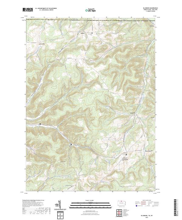
2023 Map of Ellisburg
USGS Topo · Published 2023About this map
The Northern Tier of Pennsylvania meets the New York border in this high-relief terrain where the Oswayo Creek and South Branch Oswayo Creek drain a landscape of deep hollows and named ridges. Small rural hubs like Ellisburg and Andrews Settlement are defined by their position at valley junctions, with several family-named burial sites such as Nelson Farm Cem and Dunham Cem preserved along the road network. The presence of Greeley Airport in the southern portion of the sheet provides a modern contrast to the older agricultural layout of Reynoldstown and Kinney. Significant elevation changes are marked by features like Carner Hill and Rag Hill, while the branching waters of Elevenmile Creek and Peet Brook follow the many hollows that cut through the Potter County highlands.
Find a feature on this map
72 named features on this map. Tap any name to fly to it.
Don’t see what you’re looking for? This feature index may not catch every label — zoom into the map to look around manually.
Map Details
Editions of this 2023 Ellisburg Map
This is the sole edition of this map. No revisions or reprints were ever made.
Other maps of this area

1925 · Belmont
USGS Topo · 1:62,500

1926 · Wellsville
USGS Topo · 1:62,500

1932 · Genesee
USGS Topo · 1:62,500

1934 · Coudersport
USGS Topo · 1:48,000

1937 · Genesee
USGS Topo · 1:62,500

1938 · Coudersport
USGS Topo · 1:62,500

1939 · Belmont
USGS Topo · 1:62,500

1950 · Elmira
USGS Topo · 1:250,000

1954 · Williamsport
USGS Topo · 1:250,000

1957 · Warren
USGS Topo · 1:250,000