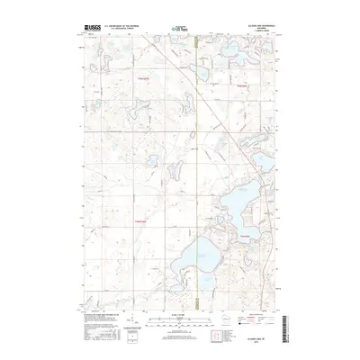
2015 Map of Ellison Lake
USGS Topo · Published 2015About this map
Lower Eau Claire Lake and its neighboring basins define this section of the northern Wisconsin lake country, straddling the border of Douglas and Bayfield Counties. The map reveals a dense network of glacial water bodies, from the larger Middle Eau Claire Lake to smaller, secluded waters like Loon Lake and Jack Pine Lake. The drainage of the Eau Claire River moves through the southern reaches, connecting these significant basins which have long served as landmarks for navigation and settlement in the pine forests.
Find a feature on this map
107 named features on this map. Tap any name to fly to it.
Don’t see what you’re looking for? This feature index may not catch every label — zoom into the map to look around manually.
Map Details
Editions of this 2015 Ellison Lake Map
This is the sole edition of this map. No revisions or reprints were ever made.
Other maps of this area

1944 · Drummond
USGS Topo · 1:48,000

1944 · Hayward
USGS Topo · 1:48,000

1945 · Highland
USGS Topo · 1:48,000

1947 · Drummond
USGS Topo · 1:48,000

1947 · Chittamo
USGS Topo · 1:48,000

1949 · Chittamo
USGS Topo · 1:48,000

1949 · Highland
USGS Topo · 1:48,000

1953 · Ashland
USGS Topo · 1:250,000

1958 · Ashland
USGS Topo · 1:250,000
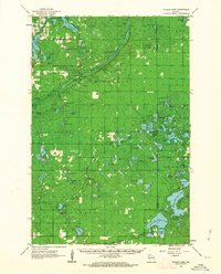
1961 · Ellison Lake
USGS Topo · 1:62,500