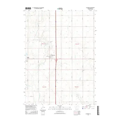
2015 Map of Ellsworth
USGS Topo · Published 2015About this map
The agrarian landscape of Hamilton County centers on the sister communities of Ellsworth and Jewell Junction, where the intersection of north-south and east-west transit corridors has long shaped local development. The drainage of this prairie region is defined by the South Skunk River, which winds through the western half of the map, and the smaller Long Dick Cr to the east. These natural waterways are augmented by human intervention, notably Ditch Number 71, illustrating the intensive management of the local water table for regional agriculture. Genealogists can find several established burial grounds scattered across the townships, including Homewood Cem near the northern border and Greenwood Cem to the south. The map documents the grid of section-line roads and named avenues like Saratoga Ave and Wilson Ave that connect these farming hubs and small-town centers.
Find a feature on this map
43 named features on this map. Tap any name to fly to it.
Don’t see what you’re looking for? This feature index may not catch every label — zoom into the map to look around manually.
Map Details
Editions of this 2015 Ellsworth Map
This is the sole edition of this map. No revisions or reprints were ever made.
Other maps of this area

1912 · Ames
USGS Topo · 1:62,500

1914 · Ames
USGS Topo · 1:62,500

1954 · Waterloo
USGS Topo · 1:250,000

1955 · Waterloo
USGS Topo · 1:250,000

1975 · Ames NW
USGS Topo · 1:24,000

1975 · Story City
USGS Topo · 1:24,000

1975 · Mc Callsburg
USGS Topo · 1:24,000

1978 · Blairsburg
USGS Topo · 1:24,000

1978 · Ellsworth
USGS Topo · 1:24,000

1978 · Jewell
USGS Topo · 1:24,000