
1975 Map of Ames NW
USGS Topo · Published 1978About this map
The agrarian borders of Hamilton and Story counties come into focus in this mid-1970s topographical survey, where the township lines of Harrison, Lafayette, Ellsworth, and Clear Lake intersect. The landscape is defined by the drainage of Squaw Creek and Keigley Branch, with numerous Gravel Pits reflecting the area's local geology and industry. For genealogists, the map is particularly detailed regarding religious and burial sites, including the SS Peter & Paul Ch and its associated Cem, along with the South St Petri Cem and Center Cem. Transportation infrastructure is represented by the Chicago and North Western railroad corridor and a solitary Landing Strip in the eastern section, while a series of modern pipelines cut across the established section lines.
Find a feature on this map
22 named features on this map. Tap any name to fly to it.
Don’t see what you’re looking for? This feature index may not catch every label — zoom into the map to look around manually.
Map Details
Editions of this 1975 Ames NW Map
This is the sole edition of this map. No revisions or reprints were ever made.
Other maps of this area

1912 · Ames
USGS Topo · 1:62,500

1914 · Ames
USGS Topo · 1:62,500

1916 · Boone
USGS Topo · 1:62,500

1954 · Waterloo
USGS Topo · 1:250,000

1955 · Waterloo
USGS Topo · 1:250,000

1965 · Mackey
USGS Topo · 1:24,000
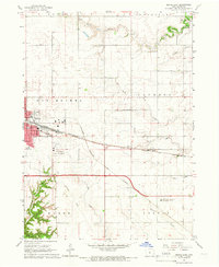
1965 · Boone East
USGS Topo · 1:24,000

1975 · Ames West
USGS Topo · 1:24,000

1975 · Story City
USGS Topo · 1:24,000
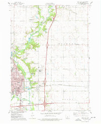
1975 · Ames East
USGS Topo · 1:24,000
Featured Places
- Harrison Township, IA
- Lafayette Township, IA
- Ellsworth Township, IA
- Clear Lake Township, IA
- Story County, IA