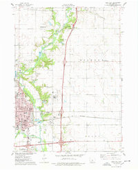
1975 Map of Ames East
USGS Topo · Published 1978About this map
The National Animal Disease Laboratory and the Iowa State University Experimental Farm anchor the northern and central landscape of this Story County region, reflecting the area's deep ties to agricultural research and scientific development. The growing city of Ames occupies the southwestern portion, where a grid of streets like Lincoln Way and Duff Ave meet the confluence of the Skunk River and Squaw Creek. The Chicago and North Western railroad cuts an east-west path across the prairie, while the Ames Municipal Airport stands at the southern edge of the corporate boundary.
Find a feature on this map
78 named features on this map. Tap any name to fly to it.
Don’t see what you’re looking for? This feature index may not catch every label — zoom into the map to look around manually.
Map Details
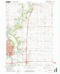
Editions of this 1975 Ames East Map
2 editions found
Other maps of this area

1911 · Slater
USGS Topo · 1:62,500

1912 · Ames
USGS Topo · 1:62,500

1913 · Slater
USGS Topo · 1:62,500

1914 · Ames
USGS Topo · 1:62,500

1954 · Waterloo
USGS Topo · 1:250,000

1954 · Des Moines
USGS Topo · 1:250,000

1955 · Waterloo
USGS Topo · 1:250,000

1956 · Des Moines
USGS Topo · 1:250,000

1957 · Des Moines
USGS Topo · 1:250,000

1969 · Des Moines
USGS Topo · 1:250,000