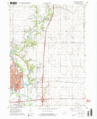
1975 Map of Ames East
USGS Topo · Published 1978About this map
Ames serves as the focal point of this mid-1970s survey, illustrating a period of significant institutional and infrastructure development. The eastern side of the city is defined by the presence of the National Animal Disease Laboratory and the sprawling Iowa State University Experimental Farm I, highlighting the region's historical commitment to agricultural research. Transport and industrial activity are evident along the Chicago and North Western rail line, which cuts through the heart of the landscape near numerous local gravel pits and quarries.
Find a feature on this map
53 named features on this map. Tap any name to fly to it.
Don’t see what you’re looking for? This feature index may not catch every label — zoom into the map to look around manually.
Map Details
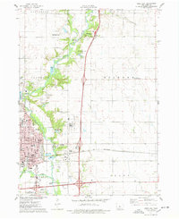
Editions of this 1975 Ames East Map
2 editions found
Other maps of this area

1911 · Slater
USGS Topo · 1:62,500

1912 · Ames
USGS Topo · 1:62,500

1913 · Slater
USGS Topo · 1:62,500

1914 · Ames
USGS Topo · 1:62,500

1954 · Waterloo
USGS Topo · 1:250,000

1954 · Des Moines
USGS Topo · 1:250,000

1955 · Waterloo
USGS Topo · 1:250,000

1956 · Des Moines
USGS Topo · 1:250,000

1957 · Des Moines
USGS Topo · 1:250,000

1969 · Des Moines
USGS Topo · 1:250,000