
1965 Map of Mackey
USGS Topo · Published 1966About this map
Mackey serves as the primary point of settlement in this mid-1960s agricultural landscape, situated at the intersection of Boone and Hamilton counties. The area is defined by the winding paths of Squaw Creek, Montgomery Creek, and Prairie Creek, which drain the township lands of Marion, Clear Lake, Dodge, and Harrison. Social life and history are anchored by rural institutions like St Marys Ch and St Paul Sch, while numerous family and community burial grounds, such as South Marion Cem, Lake Center Cem, and Leininger Cem, provide essential data for local genealogical research. Industrial activity is visible in the form of several Gravel Pits concentrated near the creek beds and a significant Pipeline corridor cutting across the southern sections of the quadrangle.
Find a feature on this map
17 named features on this map. Tap any name to fly to it.
Don’t see what you’re looking for? This feature index may not catch every label — zoom into the map to look around manually.
Map Details
Editions of this 1965 Mackey Map
This is the sole edition of this map. No revisions or reprints were ever made.
Other maps of this area

1912 · Ames
USGS Topo · 1:62,500

1914 · Ames
USGS Topo · 1:62,500

1916 · Boone
USGS Topo · 1:62,500

1954 · Waterloo
USGS Topo · 1:250,000

1955 · Waterloo
USGS Topo · 1:250,000

1965 · Fraser
USGS Topo · 1:24,000
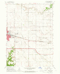
1965 · Boone East
USGS Topo · 1:24,000
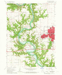
1965 · Boone West
USGS Topo · 1:24,000

1975 · Ames NW
USGS Topo · 1:24,000

1975 · Ames West
USGS Topo · 1:24,000