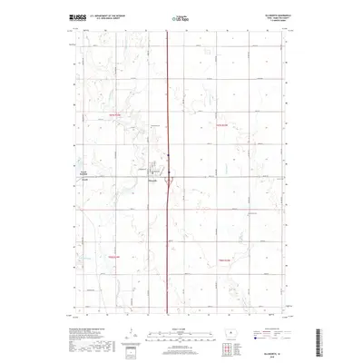
2018 Map of Ellsworth
USGS Topo · Published 2018About this map
Jewell Junction and Ellsworth serve as the primary hubs in this section of Hamilton County, showcasing a landscape defined by Iowa's agricultural grid and its managed waterways. The South Skunk River meanders through the western half of the territory, flanked by landmarks like Goose Lake and the engineered drainage of Ditch Number 71. This 2018 survey captures the intersection of rural life and transit, where local thoroughfares like Thoreson Ave and Des Moines Ave connect these small communities to the broader region.
Find a feature on this map
43 named features on this map. Tap any name to fly to it.
Don’t see what you’re looking for? This feature index may not catch every label — zoom into the map to look around manually.
Map Details
Editions of this 2018 Ellsworth Map
This is the sole edition of this map. No revisions or reprints were ever made.
Other maps of this area

1912 · Ames
USGS Topo · 1:62,500

1914 · Ames
USGS Topo · 1:62,500

1954 · Waterloo
USGS Topo · 1:250,000

1955 · Waterloo
USGS Topo · 1:250,000

1975 · Ames NW
USGS Topo · 1:24,000

1975 · Story City
USGS Topo · 1:24,000

1975 · Mc Callsburg
USGS Topo · 1:24,000

1978 · Blairsburg
USGS Topo · 1:24,000

1978 · Ellsworth
USGS Topo · 1:24,000

1978 · Jewell
USGS Topo · 1:24,000