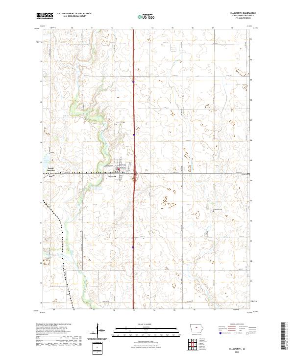
2022 Map of Ellsworth
USGS Topo · Published 2022About this map
Ellsworth and its neighboring community of Jewell anchor this Hamilton County landscape, where the agricultural grid is intersected by the winding course of the South Skunk River. The transition between the traditional town centers and modern infrastructure is visible through features like Industrial Park Rd and the proximity of the older Jewell Junction site. Local history is preserved in several burial grounds scattered across the townships, including Homewood Cem, Lincoln Cem, and Greenwood Cem.
Find a feature on this map
45 named features on this map. Tap any name to fly to it.
Don’t see what you’re looking for? This feature index may not catch every label — zoom into the map to look around manually.
Map Details
Editions of this 2022 Ellsworth Map
This is the sole edition of this map. No revisions or reprints were ever made.
Other maps of this area
1912 · Ames
USGS Topo · 1:62,500
1914 · Ames
USGS Topo · 1:62,500

1954 · Waterloo
USGS Topo · 1:250,000
1955 · Waterloo
USGS Topo · 1:250,000
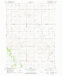
1975 · Ames NW
USGS Topo · 1:24,000
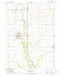
1975 · Story City
USGS Topo · 1:24,000
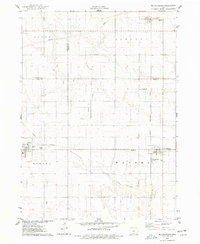
1975 · Mc Callsburg
USGS Topo · 1:24,000
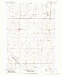
1978 · Blairsburg
USGS Topo · 1:24,000
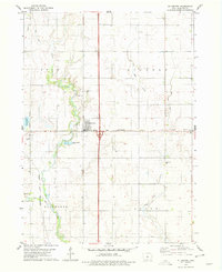
1978 · Ellsworth
USGS Topo · 1:24,000
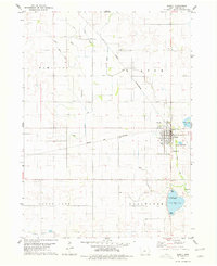
1978 · Jewell
USGS Topo · 1:24,000