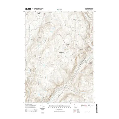
2015 Map of Ellsworth
USGS Topo · Published 2015About this map
The Housatonic River carves a deep valley through the Litchfield Hills, defining the eastern border of this 2015 landscape where the Appalachian National Scenic Trail winds across high ridges. Uplands like Sharon Mtn and Skiff Mtn separate small, historical hamlets such as Ellsworth and Mitcheltown. The density of community cemeteries, including Ellsworth Cem, East Street Cem, and the Skiff Mountain Cem, speaks to the long-established settlement patterns of this corner of Connecticut. In the south, the terrain descends toward North Kent, while the western edge is defined by the headwaters of Macedonia Brook. This modern topographic survey highlights how ancient family-named landmarks like Calebs Peak and Saint Johns Ledges continue to anchor the region's geography alongside more recent conservation corridors.
Find a feature on this map
110 named features on this map. Tap any name to fly to it.
Don’t see what you’re looking for? This feature index may not catch every label — zoom into the map to look around manually.
Map Details
Editions of this 2015 Ellsworth Map
This is the sole edition of this map. No revisions or reprints were ever made.
Other maps of this area

1892 · Cornwall
USGS Topo · 1:62,500

1892 · New Milford
USGS Topo · 1:62,500

1893 · New Milford
USGS Topo · 1:62,500

1893 · Cornwall
USGS Topo · 1:62,500

1893 · Clove
USGS Topo · 1:62,500

1894 · Clove
USGS Topo · 1:62,500

1898 · Clove
USGS Topo · 1:62,500

1899 · Millbrook
USGS Topo · 1:62,500

1901 · Clove
USGS Topo · 1:62,500

1902 · Millbrook
USGS Topo · 1:62,500