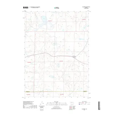
2017 Map of Ellsworth
USGS Topo · Published 2017About this map
Ellsworth serves as the primary hub for this portion of the Nebraska Sandhills, situated along the east-west corridor of Sheridan Rd. This high-plains landscape is characterized by its high density of natural basins and wetlands, with numerous named bodies of water such as Black Lake, Kennedy Lake, and Merritt Lake scattered across the undulating terrain. The pattern of these lakes, including Haines Lake and Shubert Lake, suggests a complex local hydrology typical of this semi-arid region where groundwater often interacts with the surface in interdunal depressions.
Find a feature on this map
20 named features on this map. Tap any name to fly to it.
Don’t see what you’re looking for? This feature index may not catch every label — zoom into the map to look around manually.
Map Details
Editions of this 2017 Ellsworth Map
This is the sole edition of this map. No revisions or reprints were ever made.
Other maps of this area

1948 · Bingham
USGS Topo · 1:62,500

1948 · Lakeside
USGS Topo · 1:62,500

1949 · Mumper
USGS Topo · 1:62,500

1950 · Longfellow Lake
USGS Topo · 1:62,500

1950 · Lakeside
USGS Topo · 1:62,500

1950 · Bingham
USGS Topo · 1:62,500

1954 · Scottsbluff
USGS Topo · 1:250,000

1955 · Alliance
USGS Topo · 1:250,000

1957 · Alliance
USGS Topo · 1:250,000

1958 · Alliance
USGS Topo · 1:250,000