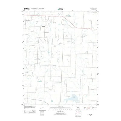
2011 Map of Elm
USGS Topo · Published 2011About this map
Elm and Fulkerson anchor this rural landscape in Johnson County, defined by the winding course of the South Fork Blackwater River and a high density of local burial grounds. The territory is a patchwork of small-scale agriculture and water management, where the drainage of Louse Run and Little Creek feeds into a series of reservoirs including Maupin Lake, Carey Mims Lake, and the larger Holden City Lake. These water bodies, along with smaller catchments like Spiwak Lake and Echo Lake, suggest a land shaped by intentional conservation and local recreation.
Find a feature on this map
51 named features on this map. Tap any name to fly to it.
Don’t see what you’re looking for? This feature index may not catch every label — zoom into the map to look around manually.
Map Details
Editions of this 2011 Elm Map
This is the sole edition of this map. No revisions or reprints were ever made.
Other maps of this area

1885 · Warrensburg
USGS Topo · 1:125,000

1887 · Harrisonville
USGS Topo · 1:125,000

1887 · Warrensburg
USGS Topo · 1:125,000

1892 · Harrisonville
USGS Topo · 1:125,000

1894 · Harrisonville
USGS Topo · 1:125,000

1894 · Warrensburg
USGS Topo · 1:125,000

1935 · Tarsney
USGS Topo · 1:24,000

1947 · Jefferson City
USGS Topo · 1:250,000

1947 · Lawrence
USGS Topo · 1:250,000

1950 · Lawrence
USGS Topo · 1:250,000