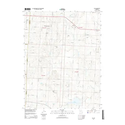
2014 Map of Elm
USGS Topo · Published 2014About this map
The S Fork Blackwater River winds through this agricultural landscape on the border of Johnson, Jackson, and Cass Counties. The small community of Elm sits in the northeast, while Fulkerson occupies the northwestern corner, serving as local centers for the surrounding farmsteads. Local genealogy is well-preserved through numerous burial sites including Underwood Cemetery, Lunday Cemetery, and Elm Spring Cemetery, which are scattered among the prominent rises of Basin Knob and Devil Ridge. The water management of the region is evident in several constructed reservoirs like Holden City Lake, Carey Mims Lake, and Echo Lake, which interrupt the natural drainage patterns of smaller tributaries such as Mouse Run and Little Blackwater Cr. The map reveals a strictly gridded road network, including W Division Rd and NW 600th Rd, that defines the township and range boundaries of this Missouri interior.
Find a feature on this map
62 named features on this map. Tap any name to fly to it.
Don’t see what you’re looking for? This feature index may not catch every label — zoom into the map to look around manually.
Map Details
Editions of this 2014 Elm Map
This is the sole edition of this map. No revisions or reprints were ever made.
Other maps of this area

1885 · Warrensburg
USGS Topo · 1:125,000

1887 · Harrisonville
USGS Topo · 1:125,000

1887 · Warrensburg
USGS Topo · 1:125,000

1892 · Harrisonville
USGS Topo · 1:125,000

1894 · Harrisonville
USGS Topo · 1:125,000

1894 · Warrensburg
USGS Topo · 1:125,000

1935 · Tarsney
USGS Topo · 1:24,000

1947 · Jefferson City
USGS Topo · 1:250,000

1947 · Lawrence
USGS Topo · 1:250,000

1950 · Lawrence
USGS Topo · 1:250,000