Loading...
Loading map...2022 Map of Elmendorf
USGS Topo · Published 2022About this map
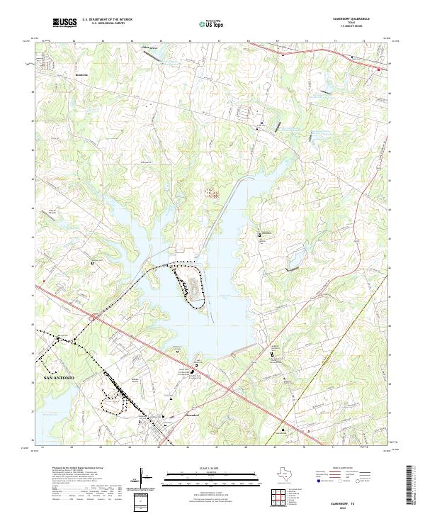
The town of Elmendorf serves as a focal point in this south Bexar County landscape, situated near the confluence of local creeks and the substantial waters of Calaveras Lake. This area is exceptionally dense with small family and community burial grounds, offering significant value for genealogical research. Notable sites include the Hobrecht Family Cem, Arocha Cem, and Saint Anthonys Cem, reflecting the deep-rooted heritage of the local population.
Find a feature on this map
107 named features on this map. Tap any name to fly to it.
Don’t see what you’re looking for? This feature index may not catch every label — zoom into the map to look around manually.
Map Details
Date Portrayed2022
Date Published2022
PublisherU.S. Geological Survey
Map TypeTopographic
Scale1:24000
Physical Dimensions24 x 29 inches
Editions of this 2022 Elmendorf Map
This is the sole edition of this map. No revisions or reprints were ever made.
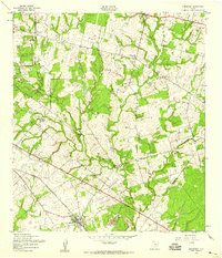
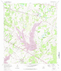
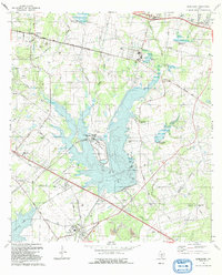
Historical Maps of Elmendorf Through Time
4 maps found
Featured Locations
Source Details
SourceU.S. Geological Survey
CopyrightPublic Domain