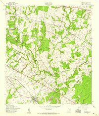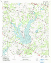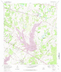
1967 Map of Elmendorf
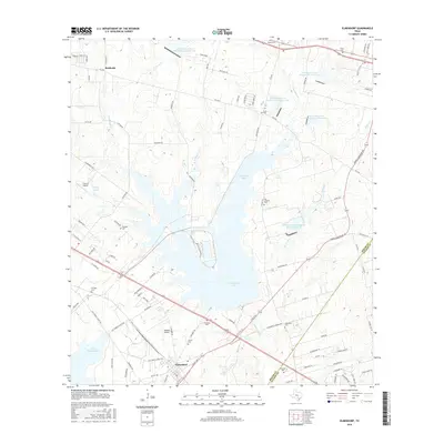
USGS Topo · Published 1975About this map
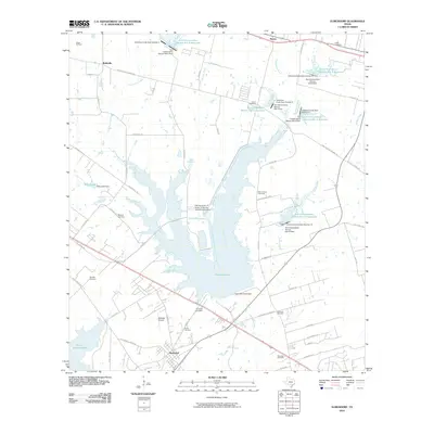
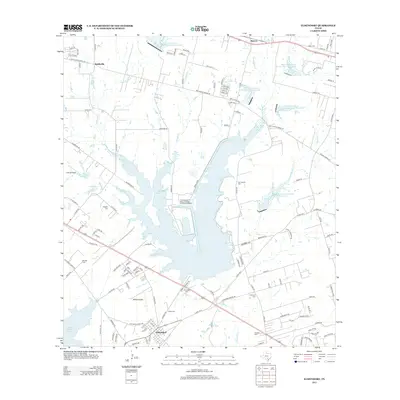
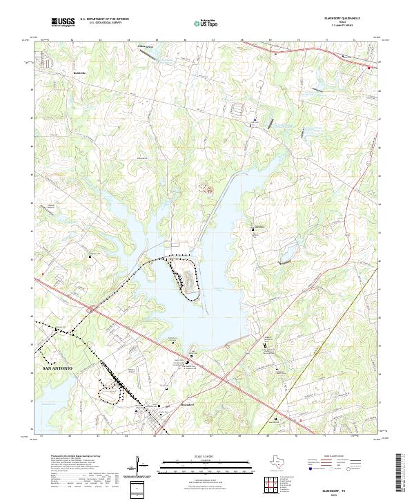
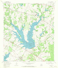
Calaveras Lake dominates the central landscape of this Southeast Texas quadrangle, where the waters of Calaveras Creek are contained by a series of dams, including Calaveras Creek Dam No 10 and Calaveras Creek Dam No 3. In the southwest, the Southern Pacific railroad passes through the settlement of Elmendorf, a hub near the shores of Braunig Lake. The area reflects a mix of rural industry and deep-rooted community ties, evidenced by the Eckert Oil Field and the numerous family-named burial grounds like San Lorenzo Cem and Arciniega Cem.
Find a feature on this map
44 named features on this map. Tap any name to fly to it.
Don’t see what you’re looking for? This feature index may not catch every label — zoom into the map to look around manually.
Map Details
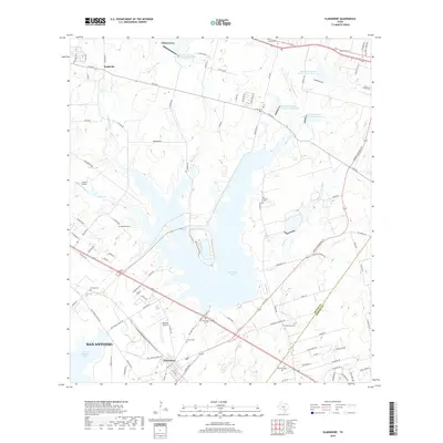
Editions of this 1967 Elmendorf Map
2 editions found
Historical Maps of San Antonio Through Time
8 maps found