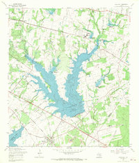
1967 Map of Elmendorf
USGS Topo · Published 1969About this map
Calaveras Lake and the Braunig Lake reservoir system dominate this 1967 landscape southeast of San Antonio. The expansion of these water bodies, regulated by structures like Forney Dam and numerous check dams along Calaveras Creek, shows a region transitioning to support growing power and infrastructure needs. Near the settlement of Elmendorf, the Southern Pacific railroad cuts across the terrain, passing through a rural landscape dotted with family and community legacy sites including San Lorenzo Cem, Arciniega Cem, and Flores Cem. Industrial activity is evident at the Eckert Oil Field and scattered Claypit and Gravel Pit operations. The presence of several radio towers, including the WOAI and KENS facilities, highlights the area's role as a communications hub for the county during the late 1960s.
Find a feature on this map
54 named features on this map. Tap any name to fly to it.
Don’t see what you’re looking for? This feature index may not catch every label — zoom into the map to look around manually.
Map Details
Editions of this 1967 Elmendorf Map
2 editions found
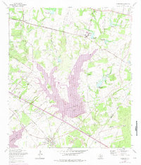
Other maps of this area

1936 · Floresville
USGS Topo · 1:62,500

1953 · San Antonio East
USGS Topo · 1:24,000

1953 · Elmendorf
USGS Topo · 1:24,000

1953 · Southton
USGS Topo · 1:24,000

1953 · Martinez
USGS Topo · 1:24,000

1954 · San Antonio
USGS Topo · 1:250,000

1957 · San Antonio
USGS Topo · 1:250,000

1958 · Losoya
USGS Topo · 1:24,000

1958 · La Vernia SW
USGS Topo · 1:24,000

1958 · Saspamco
USGS Topo · 1:24,000