
1958 Map of Losoya
USGS Topo · Published 1961About this map
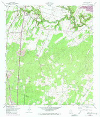
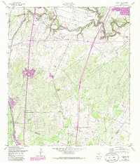
The Medina River meanders through the heart of this South Texas landscape, defining a valley that supported early settlements and religious foundations south of San Antonio. Near the river, the community of Losoya stands as a focal point, flanked by ecclesiastical landmarks like Our Lady of Mt Carmel Ch and the Mt Carmel Chapel. The map reveals a transition from these established village centers to a more industrial and educational outskirts, marked by South Side High Sch and several Oil Wells scattered across the terrain.
Find a feature on this map
15 named features on this map. Tap any name to fly to it.
Don’t see what you’re looking for? This feature index may not catch every label — zoom into the map to look around manually.
Map Details
Editions of this 1958 Losoya Map
Other maps of this area

1953 · Terrell Wells
USGS Topo · 1:24,000

1953 · Elmendorf
USGS Topo · 1:24,000

1953 · Southton
USGS Topo · 1:24,000

1954 · San Antonio
USGS Topo · 1:250,000

1957 · San Antonio
USGS Topo · 1:250,000

1958 · Thelma
USGS Topo · 1:24,000

1958 · Saspamco
USGS Topo · 1:24,000
1964 · Saspamco SE
USGS Topo · 1:24,000

1964 · Leming
USGS Topo · 1:24,000
1967 · Terrell Wells
USGS Topo · 1:24,000