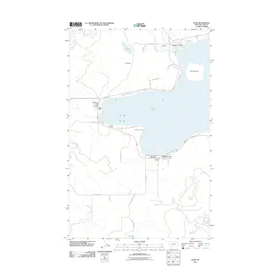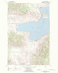
1988 Map of Elmo
USGS Topo · Published 1988About this map
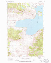
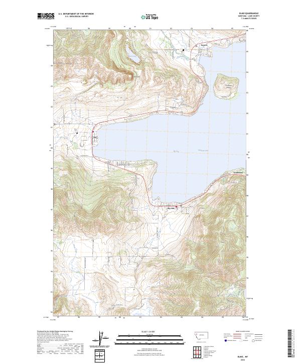
The Flathead Indian Reservation surrounds the western shores of Flathead Lake on this 1988 revision, providing a clear view of the tribal landscape and the Hog Heaven Range. The settlements of Elmo and Dayton sit north of the prominent Big Arm bay, where the shoreline is punctuated by Flathead Lake State Park. Inland, the topography rises sharply toward the iconic Chief Cliff and the sprawling ridges of the northwest. Cultural landmarks like the Indian Cem near Dayton Creek offer specific points of interest for genealogists and local historians.
Find a feature on this map
24 named features on this map. Tap any name to fly to it.
Don’t see what you’re looking for? This feature index may not catch every label — zoom into the map to look around manually.
Map Details
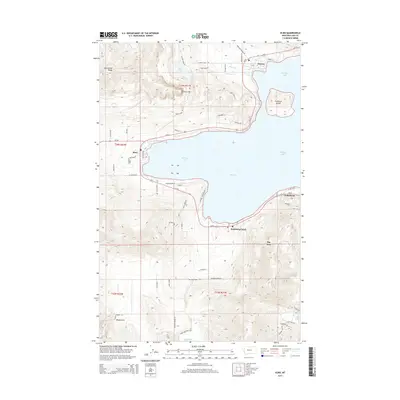
Editions of this 1988 Elmo Map
This is the sole edition of this map. No revisions or reprints were ever made.
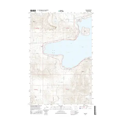
Historical Maps of Elmo Through Time
7 maps found