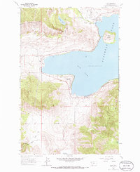
1964 Map of Elmo
USGS Topo · Published 1986About this map
The shoreline of Flathead Lake defines the western edge of this 1964 Montana landscape, centered on the Big Arm and the nearby settlements of Elmo and Dayton. The topography is dominated by the Hog Heaven Range to the northwest, where Chief Cliff overlooks the water. Along the northern coast, Spring Creek, Dayton Creek, and Kootenai Creek flow into the lake near the Indian Cem.
Find a feature on this map
25 named features on this map. Tap any name to fly to it.
Don’t see what you’re looking for? This feature index may not catch every label — zoom into the map to look around manually.
Map Details
Editions of this 1964 Elmo Map
2 editions found
Other maps of this area

1920 · Flathead Lake
USGS Topo · 1:125,000

1956 · Wallace
USGS Topo · 1:250,000

1960 · Wallace
USGS Topo · 1:250,000

1964 · Buffalo Bridge
USGS Topo · 1:24,000

1964 · Wild Horse Island
USGS Topo · 1:24,000

1964 · Irvine Lookout Tower
USGS Topo · 1:24,000
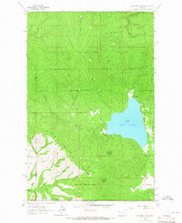
1964 · Lake Mary Ronan
USGS Topo · 1:24,000
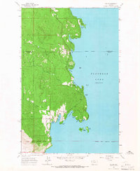
1964 · Rollins
USGS Topo · 1:24,000

1964 · Elmo
USGS Topo · 1:24,000

1964 · Polson
USGS Topo · 1:24,000