Loading...
Loading map...2024 Map of Elmodel
USGS Topo · Published 2024About this map
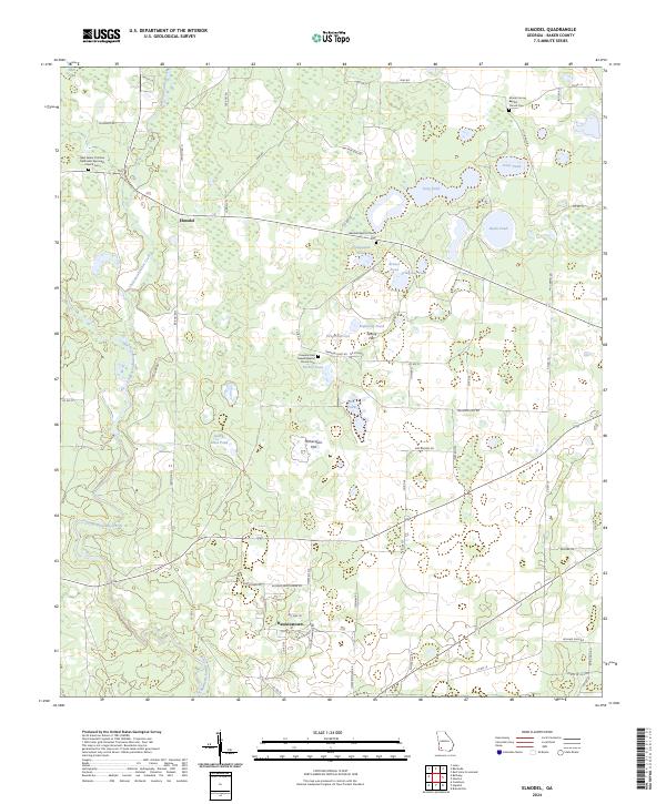
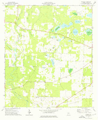
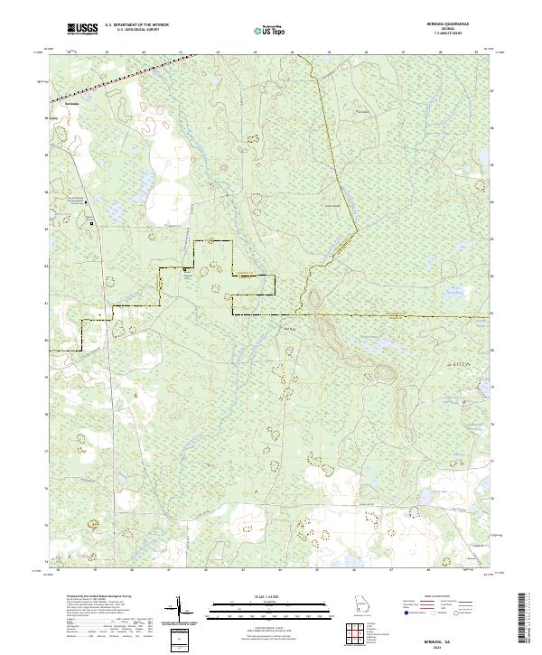
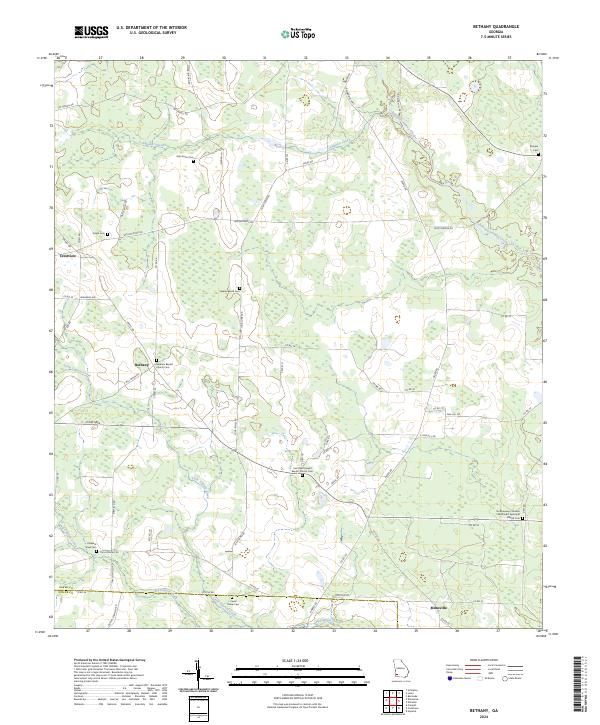
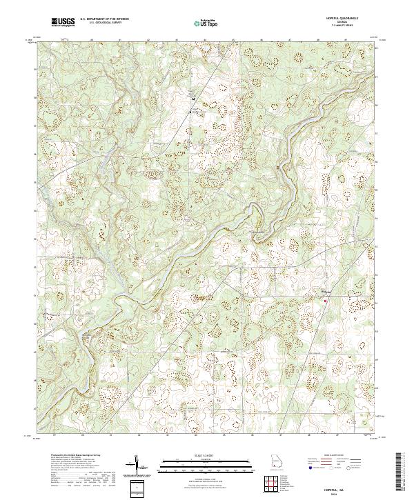
Chickasawhatchee Creek and Ichawaynochaway Creek dominate the southwestern drainage of this Baker County landscape, an area defined by its unique solution-topography ponds and flats. The settlement of Elmodel sits at a central crossroads, while further south, the community of Hawkinstown is clustered along roads such as Hawkinstown Rd and Joshua Hawkins Rd.
Find a feature on this map
73 named features on this map. Tap any name to fly to it.
Don’t see what you’re looking for? This feature index may not catch every label — zoom into the map to look around manually.
Map Details
Date Portrayed2024
Date Published2024
PublisherU.S. Geological Survey
Map TypeTopographic
Scale1:24000
Physical Dimensions24 x 29 inches
Editions of this 2024 Elmodel Map
This is the sole edition of this map. No revisions or reprints were ever made.
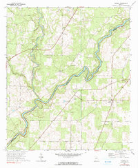
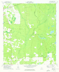
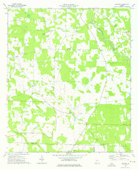
Historical Maps of Elmodel Through Time
8 maps found
Featured Locations
Source Details
SourceU.S. Geological Survey
CopyrightPublic Domain