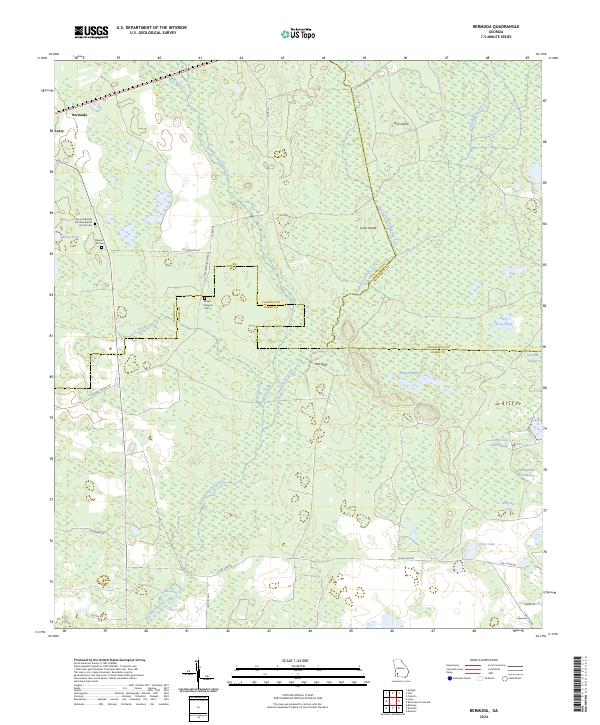
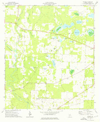
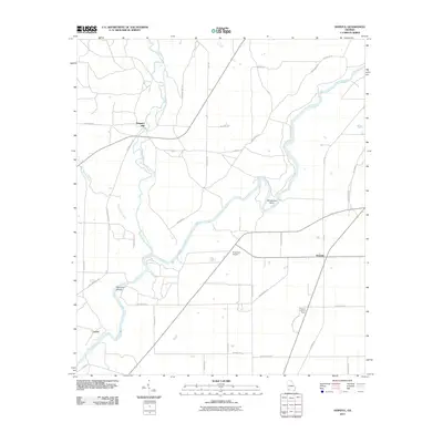
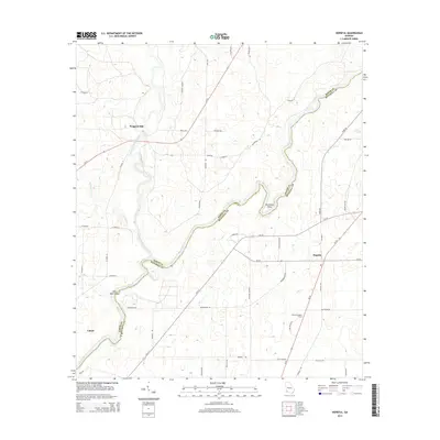
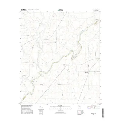
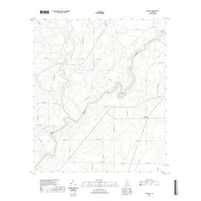
2024 Map of Bermuda
USGS Topo · Published 2024About this map
The confluence of Baker, Calhoun, and Dougherty counties is defined by an intricate network of wetlands and tributaries. The central drainage of Chickasawhatchee Creek and its many offshoots, such as Keel Creek and Kokee Creek, dominate the landscape, carving through sections of Pine Island and Jones Island. These low-lying areas are punctuated by distinctive landmarks like Red Bluff and several uniquely named wetlands, including Hellgate Swamp and Fortysecond Street Swamp.
Find a feature on this map
39 named features on this map. Tap any name to fly to it.
Don’t see what you’re looking for? This feature index may not catch every label — zoom into the map to look around manually.
Map Details
Editions of this 2024 Bermuda Map
This is the sole edition of this map. No revisions or reprints were ever made.
Historical Maps of Bermuda Through Time
24 maps found
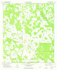
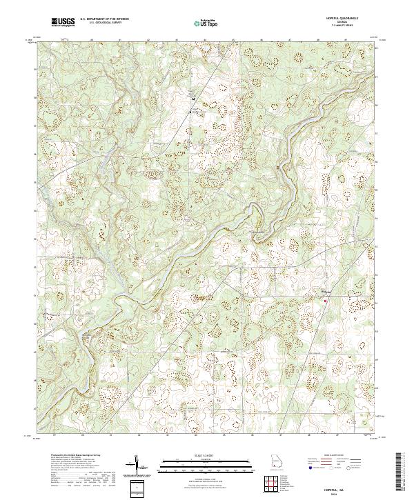
1971 Hopeful
Baker County, GA
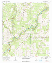
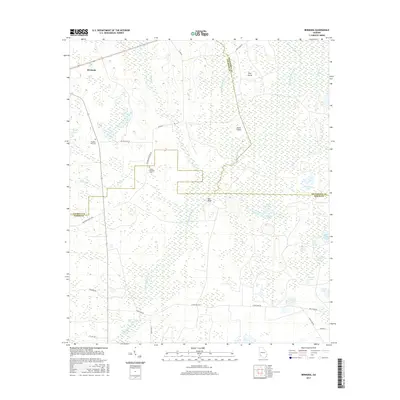
1974 Bermuda
Baker County, GA
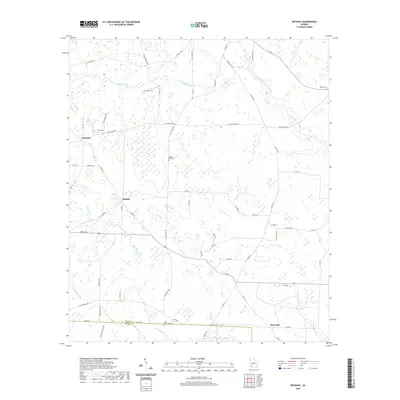
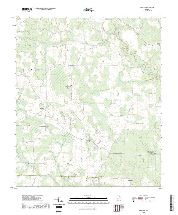
1974 Bethany
Baker County, GA
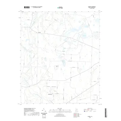
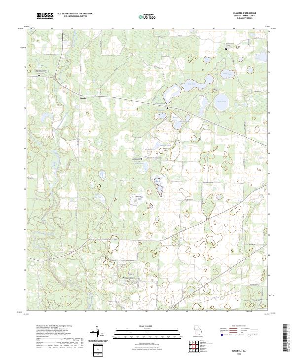
1974 Elmodel
Baker County, GA
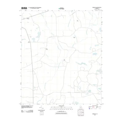
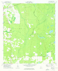
2011 Bermuda
Baker County, GA
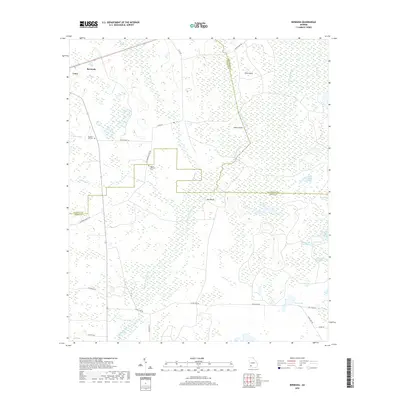
2011 Bethany
Baker County, GA
2011 Elmodel
Baker County, GA
2011 Hopeful
Baker County, GA
2014 Bermuda
Baker County, GA
2014 Bethany
Baker County, GA
2014 Elmodel
Baker County, GA
2014 Hopeful
Baker County, GA
2017 Bermuda
Baker County, GA
2017 Bethany
Baker County, GA
2017 Elmodel
Baker County, GA
2017 Hopeful
Baker County, GA
2020 Bermuda
Baker County, GA
2020 Bethany
Baker County, GA
2020 Elmodel
Baker County, GA
2020 Hopeful
Baker County, GA
2024 Bermuda
Baker County, GA
2024 Bethany
Baker County, GA
2024 Elmodel
Baker County, GA
2024 Hopeful
Baker County, GA