Loading...
Loading map...2024 Map of Elmore
USGS Topo · Published 2024About this map
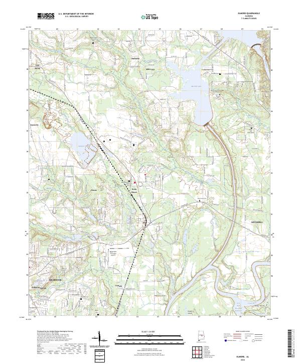
The Coosa and Tallapoosa River converge at the southern edge of this Elmore County landscape, a region defined by its complex hydrography and deep historical layers. Taskigi Mound stands near the river junction, marking a significant cultural site adjacent to the modern city of Wetumpka. To the west, the growth of Millbrook and Coosada contrasts with the dispersed rural settlements of Holtville and Adkin Hill further north.
Find a feature on this map
174 named features on this map. Tap any name to fly to it.
Don’t see what you’re looking for? This feature index may not catch every label — zoom into the map to look around manually.
Map Details
Date Portrayed2024
Date Published2024
PublisherU.S. Geological Survey
Map TypeTopographic
Scale1:24000
Physical Dimensions24 x 29 inches
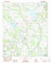
Editions of this 2024 Elmore Map
This is the sole edition of this map. No revisions or reprints were ever made.
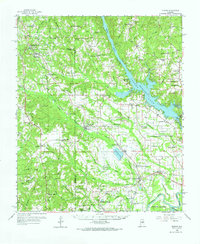
Historical Maps of Adkin Hill Through Time
Featured Locations
Source Details
SourceU.S. Geological Survey
CopyrightPublic Domain