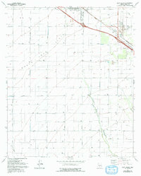
1981 Map of Eloy South
USGS Topo · Published 1993About this map
The Santa Cruz Flats dominate this landscape, illustrating the agricultural and infrastructural layout of the region during the early 1980s. Centered on the Eloy Corporate Boundary, the map reveals a vast grid of irrigation-dependent land serviced by an extensive network of named thoroughfares such as Eleven Mile Corner Road and Sunshine Boulevard. The seasonal Santa Cruz River winds through the southern portion of the quadrangle, flanked by numerous wells that suggest the intensive groundwater reliance of the local economy. At the northeastern edge, the Southern Pacific railroad corridor and the Picacho Overpass near Picacho highlight the area's role as a transportation hub. Local history is anchored by sites like Eloy Memorial Park (Cem) and smaller landmarks including Eds Field and various borrow pits, reflecting the intersection of municipal growth and desert industry.
Find a feature on this map
28 named features on this map. Tap any name to fly to it.
Don’t see what you’re looking for? This feature index may not catch every label — zoom into the map to look around manually.
Map Details
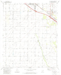
Editions of this 1981 Eloy South Map
2 editions found
Other maps of this area

1922 · Red Rock No 2
USGS Topo · 1:48,000

1922 · Signal Peak
USGS Topo · 1:62,500

1924 · Signal Peak
USGS Topo · 1:62,500

1934 · Newman Peak
USGS Topo · 1:125,000

1947 · Red Rock
USGS Topo · 1:62,500

1947 · Eloy
USGS Topo · 1:62,500

1948 · Eloy
USGS Topo · 1:62,500

1956 · Tucson
USGS Topo · 1:250,000

1958 · Tucson
USGS Topo · 1:250,000

1959 · Tucson
USGS Topo · 1:250,000