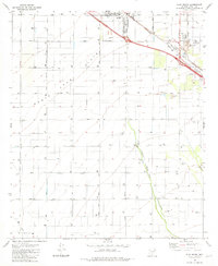
1981 Map of Eloy South
USGS Topo · Published 1981About this map
Santa Cruz Flats define this arid landscape south of the Eloy Corporate Boundary in the early 1980s. The region is characterized by a dense grid of agricultural roads, including Sunshine Boulevard and Toltec Highway, punctuated by hundreds of irrigation wells that support the desert's productive acreage. The Santa Cruz River winds through the southeastern portion of the sheet, providing the primary hydrologic feature for the valley.
Find a feature on this map
28 named features on this map. Tap any name to fly to it.
Don’t see what you’re looking for? This feature index may not catch every label — zoom into the map to look around manually.
Map Details
Editions of this 1981 Eloy South Map
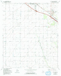
2 editions found
Other maps of this area

1922 · Red Rock No 2
USGS Topo · 1:48,000

1922 · Signal Peak
USGS Topo · 1:62,500

1924 · Signal Peak
USGS Topo · 1:62,500

1934 · Newman Peak
USGS Topo · 1:125,000

1947 · Red Rock
USGS Topo · 1:62,500

1947 · Eloy
USGS Topo · 1:62,500

1948 · Eloy
USGS Topo · 1:62,500

1956 · Tucson
USGS Topo · 1:250,000

1958 · Tucson
USGS Topo · 1:250,000

1959 · Tucson
USGS Topo · 1:250,000