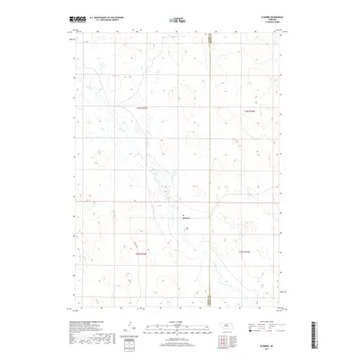
2017 Map of Elsmere
USGS Topo · Published 2017About this map
Elsmere serves as the quiet center of this Nebraska Sandhills landscape, situated where the high plains of Cherry County meet the eastern edge of the neighboring jurisdiction. The settlement pattern here is sparse, defined by large tracts of land organized under the Public Land Survey System, including townships t26n r25w and t25n r24w. Local navigation and commerce are anchored by the Post Office and the presence of Elsmere Ave, which provides a primary transit link through the rolling topography. Natural drainage is dictated by the winding path of Goose Creek, which moves through the terrain. For those researching local heritage, the Giles Cemetery stands as a primary point of interest, marking the generational presence of ranching families in this part of the state.
Find a feature on this map
10 named features on this map. Tap any name to fly to it.
Don’t see what you’re looking for? This feature index may not catch every label — zoom into the map to look around manually.
Map Details
Editions of this 2017 Elsmere Map
This is the sole edition of this map. No revisions or reprints were ever made.
Other maps of this area
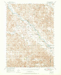
1949 · Purdum
USGS Topo · 1:62,500

1949 · Koshopah
USGS Topo · 1:62,500
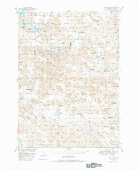
1949 · Long Lake
USGS Topo · 1:62,500
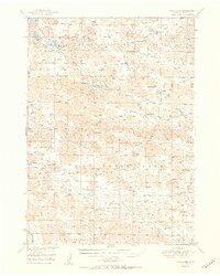
1951 · Long Lake
USGS Topo · 1:62,500
1951 · Purdum
USGS Topo · 1:62,500
1951 · Moon Lake
USGS Topo · 1:62,500
1951 · Koshopah
USGS Topo · 1:62,500
1957 · Valentine
USGS Topo · 1:250,000
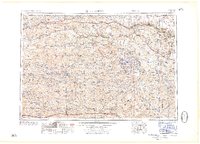
1959 · Valentine
USGS Topo · 1:250,000
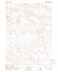
1985 · Long Lake SE
USGS Topo · 1:24,000