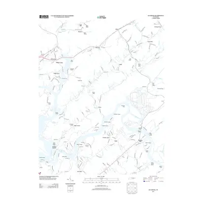
2013 Map of Elverton
USGS Topo · Published 2013About this map
Little Emory River and the Emory River converge in this section of Roane County, where the landscape is defined by deep hollows and river bends. The topographic relief is marked by named gaps and ridges like Clacks Gap and Dickey Ridge, which channel the local road network through valleys such as Hen Valley and May Valley. The river itself is a focal point of activity and transport, evidenced by Centers Ferry and the Anchor Boat Dock at Little Emory.
Find a feature on this map
200 named features on this map. Tap any name to fly to it.
Don’t see what you’re looking for? This feature index may not catch every label — zoom into the map to look around manually.
Map Details
Editions of this 2013 Elverton Map
This is the sole edition of this map. No revisions or reprints were ever made.
Other maps of this area

1887 · Kingston
USGS Topo · 1:125,000

1891 · Kingston
USGS Topo · 1:125,000

1893 · Briceville
USGS Topo · 1:125,000

1893 · Kingston
USGS Topo · 1:125,000

1895 · Wartburg
USGS Topo · 1:125,000

1895 · Loudon
USGS Topo · 1:125,000

1895 · Briceville
USGS Topo · 1:125,000

1896 · Wartburg
USGS Topo · 1:125,000

1896 · Briceville
USGS Topo · 1:125,000

1935 · Camp Austin
USGS Topo · 1:24,000