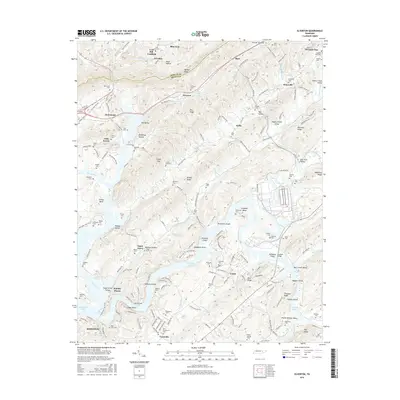
2016 Map of Elverton
USGS Topo · Published 2016About this map
Walden Ridge and the steep slopes of Coal Hill dominate this landscape near the Morgan and Roane county line. The terrain is defined by a series of parallel ridges and valleys, including Pine Ridge and Blackoak Ridge, which channel the flow of the Emory River and Poplar Creek. This intricate topography historically dictated the placement of small communities like Elverton, Coalfield, and Lawnville, often situated near gaps or along the water. The map reveals a dense distribution of family and community cemeteries, such as Massengill Spring Cem, Palko Cem, and the Slave Cem near Gallaher Shoals, providing a detailed record of the area's ancestral footprint. Industrial and transit corridors are marked by the Norfolk Southern railway and the presence of Whiteoak Lake, reflecting the region's managed waterways and rail-dependent economy.
Find a feature on this map
166 named features on this map. Tap any name to fly to it.
Don’t see what you’re looking for? This feature index may not catch every label — zoom into the map to look around manually.
Map Details
Editions of this 2016 Elverton Map
This is the sole edition of this map. No revisions or reprints were ever made.
Other maps of this area

1887 · Kingston
USGS Topo · 1:125,000

1891 · Kingston
USGS Topo · 1:125,000

1893 · Briceville
USGS Topo · 1:125,000

1893 · Kingston
USGS Topo · 1:125,000

1895 · Wartburg
USGS Topo · 1:125,000

1895 · Loudon
USGS Topo · 1:125,000

1895 · Briceville
USGS Topo · 1:125,000

1896 · Wartburg
USGS Topo · 1:125,000

1896 · Briceville
USGS Topo · 1:125,000

1935 · Camp Austin
USGS Topo · 1:24,000