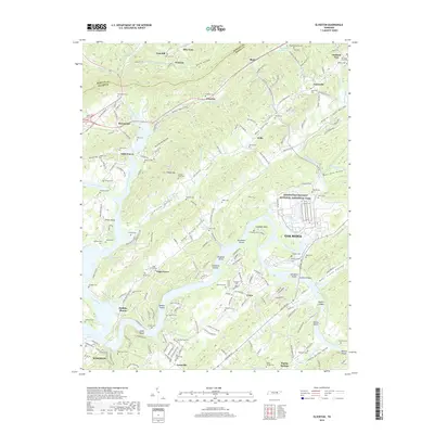
2019 Map of Elverton
USGS Topo · Published 2019About this map
The Little Emory River and Emory River converge at the western edge of this Roane and Morgan County landscape, creating a terrain defined by ridges and valley bottoms. In the eastern portion of the map, the Manhattan Project National Historical Park and the western periphery of Oak Ridge reflect the area's 20th-century industrial and scientific legacy. However, the map also preserves evidence of much older social structures through labels like Slave Cem, Pauper Cem, and the Poor Farm Cem, which point to the complex history of labor and social welfare in the region.
Find a feature on this map
198 named features on this map. Tap any name to fly to it.
Don’t see what you’re looking for? This feature index may not catch every label — zoom into the map to look around manually.
Map Details
Editions of this 2019 Elverton Map
This is the sole edition of this map. No revisions or reprints were ever made.
Other maps of this area

1887 · Kingston
USGS Topo · 1:125,000

1891 · Kingston
USGS Topo · 1:125,000

1893 · Briceville
USGS Topo · 1:125,000

1893 · Kingston
USGS Topo · 1:125,000

1895 · Wartburg
USGS Topo · 1:125,000

1895 · Loudon
USGS Topo · 1:125,000

1895 · Briceville
USGS Topo · 1:125,000

1896 · Wartburg
USGS Topo · 1:125,000

1896 · Briceville
USGS Topo · 1:125,000

1935 · Camp Austin
USGS Topo · 1:24,000