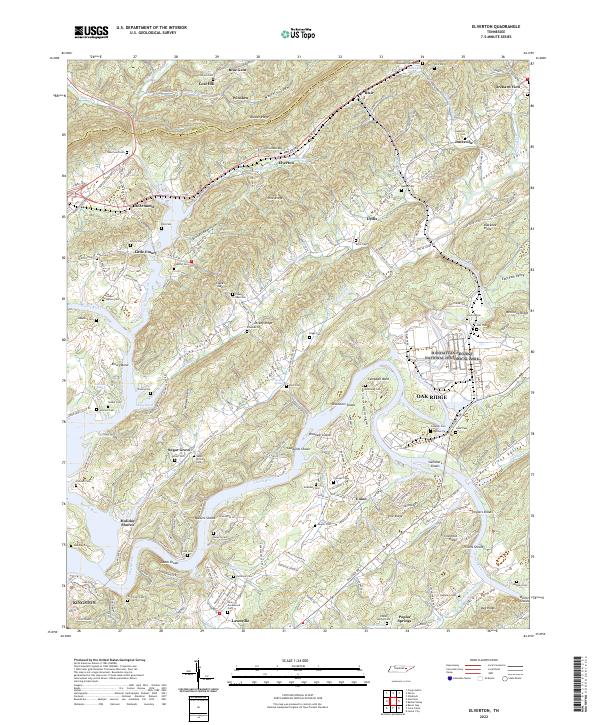
2022 Map of Elverton
USGS Topo · Published 2022About this map
The Clinch River and Emory River converge in this corner of Tennessee, defining a landscape of ridges and river bends just east of Kingston. The map documents the industrial and scientific legacy of the region, specifically marking the boundary of the Manhattan Project National Historical Park near Oak Ridge. Along the waterways, numerous shoals such as Gallaher Shoals, Walkers Shoals, and Brashear Shoals indicate the natural river navigation challenges present before the modern era of water management.
Find a feature on this map
103 named features on this map. Tap any name to fly to it.
Don’t see what you’re looking for? This feature index may not catch every label — zoom into the map to look around manually.
Map Details
Editions of this 2022 Elverton Map
This is the sole edition of this map. No revisions or reprints were ever made.
Other maps of this area

1887 · Kingston
USGS Topo · 1:125,000

1891 · Kingston
USGS Topo · 1:125,000

1893 · Briceville
USGS Topo · 1:125,000

1893 · Kingston
USGS Topo · 1:125,000

1895 · Wartburg
USGS Topo · 1:125,000

1895 · Loudon
USGS Topo · 1:125,000

1895 · Briceville
USGS Topo · 1:125,000

1896 · Wartburg
USGS Topo · 1:125,000

1896 · Briceville
USGS Topo · 1:125,000

1935 · Camp Austin
USGS Topo · 1:24,000