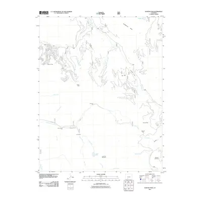
2011 Map of Elwood Pass
USGS Topo · Published 2011About this map
High-altitude mining claims and remote alpine passes define this 2011 survey of the Colorado backcountry. The southern portion of the map focuses on the mineral heritage along the East Fork San Juan River, where the Black Diamond Mine, Robert Burns Claim, and Lady Bug Mine mark the historical footprint of prospectors. This rugged network of drainages includes Elwood Creek and Bear Creek, which flow through a landscape punctuated by named landmarks like Crater Lake and Long Trek Mountain.
Find a feature on this map
36 named features on this map. Tap any name to fly to it.
Don’t see what you’re looking for? This feature index may not catch every label — zoom into the map to look around manually.
Map Details
Editions of this 2011 Elwood Pass Map
This is the sole edition of this map. No revisions or reprints were ever made.
Other maps of this area

1913 · Summitville
USGS Topo · 1:125,000

1914 · Creede
USGS Topo · 1:125,000

1915 · Summitville
USGS Topo · 1:125,000

1916 · Creede
USGS Topo · 1:125,000

1945 · Durango
USGS Topo · 1:250,000

1953 · Durango
USGS Topo · 1:250,000

1954 · Durango
USGS Topo · 1:250,000

1957 · Wolf Creek Pass
USGS Topo · 1:62,500

1957 · Spar City
USGS Topo · 1:62,500

1961 · Durango
USGS Topo · 1:250,000