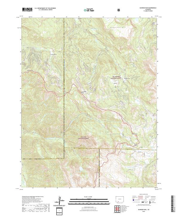
2022 Map of Elwood Pass
USGS Topo · Published 2022About this map
The Continental Divide winds through this high-altitude landscape, defining the rugged boundary where the Rio Grande National Forest meets the San Juan National Forest. The map documents a network of critical alpine crossings, including Railroad Pass, Bonito Pass, and the eponymous Elwood Pass. These notches in the terrain historically served as vital conduits for movement across the divide, connecting isolated pockets of human activity like the Bonito settlement and Campo Molino.
Find a feature on this map
55 named features on this map. Tap any name to fly to it.
Don’t see what you’re looking for? This feature index may not catch every label — zoom into the map to look around manually.
Map Details
Editions of this 2022 Elwood Pass Map
This is the sole edition of this map. No revisions or reprints were ever made.
Other maps of this area

1913 · Summitville
USGS Topo · 1:125,000

1914 · Creede
USGS Topo · 1:125,000

1915 · Summitville
USGS Topo · 1:125,000

1916 · Creede
USGS Topo · 1:125,000

1945 · Durango
USGS Topo · 1:250,000

1953 · Durango
USGS Topo · 1:250,000

1954 · Durango
USGS Topo · 1:250,000

1957 · Wolf Creek Pass
USGS Topo · 1:62,500

1957 · Spar City
USGS Topo · 1:62,500

1961 · Durango
USGS Topo · 1:250,000