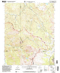
2001 Map of Elwood Pass
USGS Topo · Published 2005About this map
Rio Grande National Forest and San Juan National Forest meet along the high spine of the Continental Divide in this rugged section of the San Juan Mountains. The landscape is defined by its extreme elevation and historical prospecting routes, featuring several high-altitude crossings including Railroad Pass, Silver Pass, and the eponymous Elwood Pass. Traces of the region's mining legacy are evident at the Black Diamond Mine and the Minesite and McCormick Cabin sites. The drainage patterns are complex, with the West Fork of the Rio Grande and numerous creeks like Handkerchief Creek and Wolf Creek carving through the terrain. Notable peaks such as Long Trek Mountain and Prospect Mountain tower over alpine basins and water bodies like Podge Lake and Crater Lake.
Find a feature on this map
51 named features on this map. Tap any name to fly to it.
Don’t see what you’re looking for? This feature index may not catch every label — zoom into the map to look around manually.
Map Details
Editions of this 2001 Elwood Pass Map
2 editions found
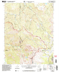
Other maps of this area

1913 · Summitville
USGS Topo · 1:125,000

1914 · Creede
USGS Topo · 1:125,000

1915 · Summitville
USGS Topo · 1:125,000

1916 · Creede
USGS Topo · 1:125,000

1945 · Durango
USGS Topo · 1:250,000

1953 · Durango
USGS Topo · 1:250,000

1954 · Durango
USGS Topo · 1:250,000

1957 · Wolf Creek Pass
USGS Topo · 1:62,500

1957 · Spar City
USGS Topo · 1:62,500

1961 · Durango
USGS Topo · 1:250,000