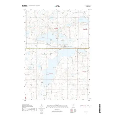
2019 Map of Elysian
USGS Topo · Published 2019About this map
Elysian serves as the focal point of this lakeside landscape, positioned where the Cannon River flows through a series of significant water bodies including Tetonka Lake and Lake Charles. The area is defined by its complex glacial geography, featuring numerous named points like Kaupans Point and Sextons Point that reach into the expansive Elysian Lake. The settlement of Greenland and the northern edge of Janesville are also documented, providing a clear look at the residential and agricultural layout of this portion of Le Sueur and Waseca counties.
Find a feature on this map
76 named features on this map. Tap any name to fly to it.
Don’t see what you’re looking for? This feature index may not catch every label — zoom into the map to look around manually.
Map Details
Editions of this 2019 Elysian Map
This is the sole edition of this map. No revisions or reprints were ever made.
Other maps of this area

1950 · Mankato East
USGS Topo · 1:62,500

1951 · Mankato East
USGS Topo · 1:62,500

1953 · Saint Paul
USGS Topo · 1:250,000

1959 · Saint Paul
USGS Topo · 1:250,000

1965 · Cleveland
USGS Topo · 1:24,000

1966 · Waseca
USGS Topo · 1:24,000

1966 · Janesville
USGS Topo · 1:24,000

1966 · Waterville
USGS Topo · 1:24,000

1966 · Cordova
USGS Topo · 1:24,000

1966 · Elysian
USGS Topo · 1:24,000