Loading...
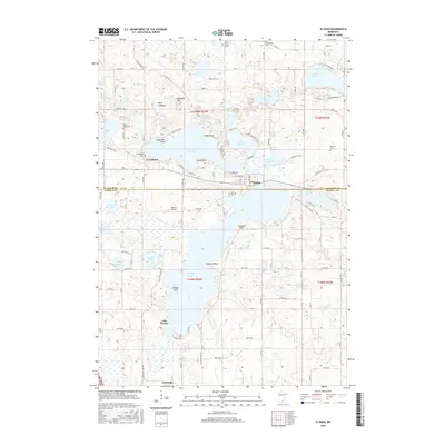
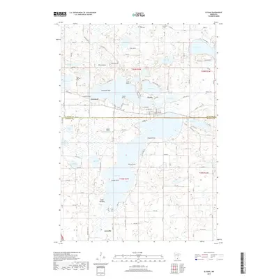
Loading map...1966 Map of Elysian
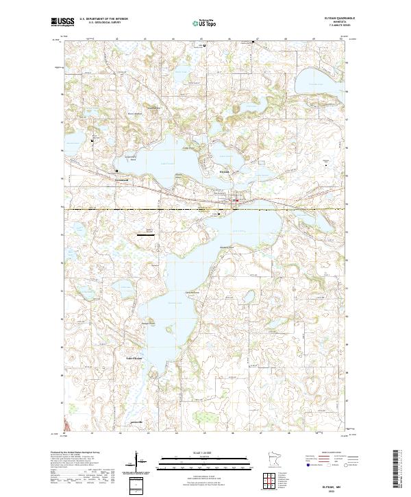
USGS Topo · Published 1968About this map
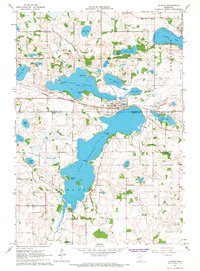
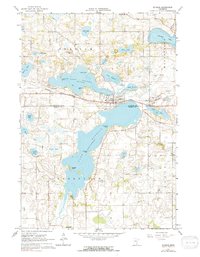
The Chicago Great Western railroad forms the industrial spine of this mid-1960s landscape, connecting the village of Elysian with the small community of Greenland to the west. This area on the border of Le Sueur and Waseca counties is defined by a dense network of glacial lakes and wetlands, including the expansive Lake Francis and Lake Elysian. The map reveals a land transitioning from agriculture to lakeside development, with numerous named points such as Carpenters Point, Clarks Point, and Savages Point jutting into the waters.
Find a feature on this map
41 named features on this map. Tap any name to fly to it.
Don’t see what you’re looking for? This feature index may not catch every label — zoom into the map to look around manually.
Map Details
Date Portrayed1966
Date Published1968
PublisherU.S. Geological Survey
Map TypeTopographic
Scale1:24,000
Physical Dimensions21.53 x 27.23 inches
Editions of this 1966 Elysian Map
2 editions found
Historical Maps of Janesville Through Time
6 maps found
Featured Locations
Source Details
SourceU.S. Geological Survey
CopyrightPublic Domain