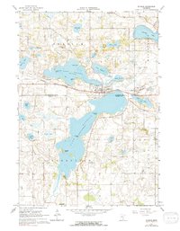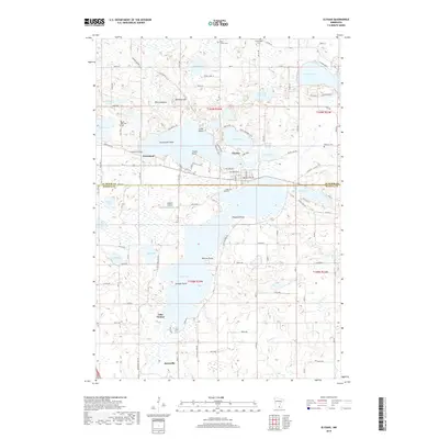
2022 Map of Elysian
USGS Topo · Published 2022About this map
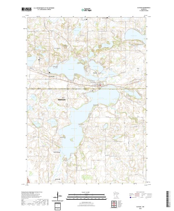
The town of Elysian serves as a central hub in this lake-rich region of southern Minnesota, situated on a narrow strip of land between Lake Francis and Lake Charles. The landscape is defined by its glacial history, with numerous water bodies like Tetonka Lake, Steele Lake, and the expansive Elysian Lake connected by waterways such as Iosco Creek and Silver Creek. Local genealogy is well-documented through several family and community burial sites, including the Dehn Family Cem, Okaman Cem, and Greenland Cem. Transportation history is visible in the alignment of the Sakatah Singing Hills State Trl, which follows a former rail corridor through the settlements of Greenland and Janesville. Further evidence of early settlement and land use appears in named landmarks such as Klondike Hill and Carpenters Point, reflecting a period when small farming communities and seasonal recreation flourished alongside the natural wetlands and lakeshores.
Find a feature on this map
49 named features on this map. Tap any name to fly to it.
Don’t see what you’re looking for? This feature index may not catch every label — zoom into the map to look around manually.
Map Details
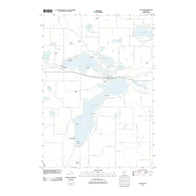
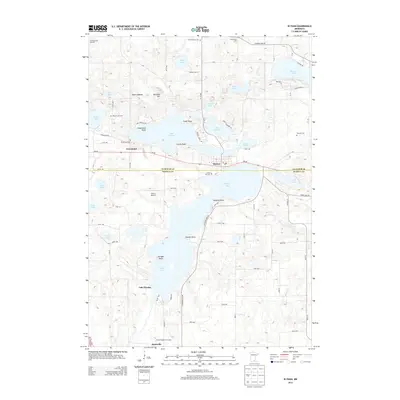
Editions of this 2022 Elysian Map
This is the sole edition of this map. No revisions or reprints were ever made.
Historical Maps of Janesville Through Time
6 maps found