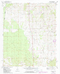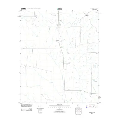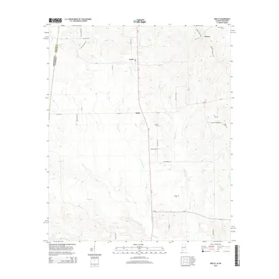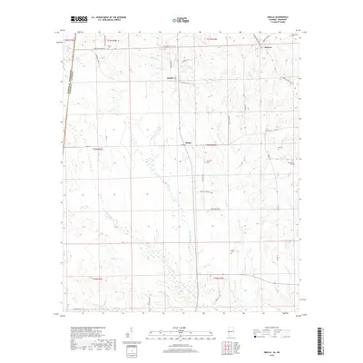
2024 Map of Emelle
USGS Topo · Published 2024About this map
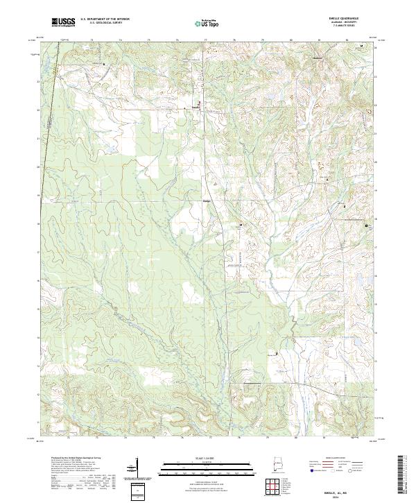
Emelle serves as a primary settlement point in this contemporary mapping of Sumter County, Alabama, situated near the Mississippi border. The landscape is defined by an intricate network of waterways, including the winding Sicolocco Creek and Sanusi Creek, which drain the lowlands of the Black Belt region. The map documents a predominantly rural and agricultural setting where family and community heritage is preserved through numerous small burial grounds such as Boney Cem, Roy Cem, and Central Cem.
Find a feature on this map
44 named features on this map. Tap any name to fly to it.
Don’t see what you’re looking for? This feature index may not catch every label — zoom into the map to look around manually.
Map Details
Editions of this 2024 Emelle Map
This is the sole edition of this map. No revisions or reprints were ever made.
Historical Maps of Emelle Through Time
6 maps found