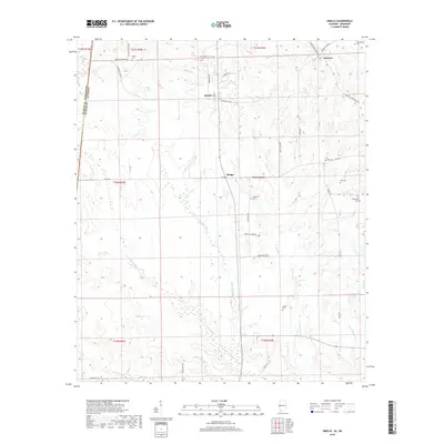
2018 Map of Emelle
USGS Topo · Published 2018About this map
The borderlands of Sumter County, Alabama, and Kemper County, Mississippi, define this landscape of creek drainages and small rural settlements. Centered on Emelle, the survey reveals a network of country roads such as Sumter Co Rd 24 and Brown Chapel Rd that connect family-named landmarks and local burial grounds. Numerous family and community cemeteries are scattered across the terrain, including Boney Cem, Roy Cem, and Old Side Cem, providing valuable points of interest for genealogists and local historians.
Find a feature on this map
43 named features on this map. Tap any name to fly to it.
Don’t see what you’re looking for? This feature index may not catch every label — zoom into the map to look around manually.
Map Details
Editions of this 2018 Emelle Map
This is the sole edition of this map. No revisions or reprints were ever made.
Other maps of this area
1929 · Epes
USGS Topo · 1:48,000
1932 · Epes
USGS Topo · 1:62,500
1953 · Meridian
USGS Topo · 1:250,000
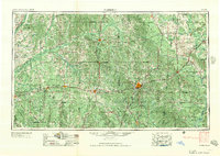
1957 · Meridian
USGS Topo · 1:250,000
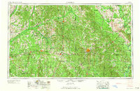
1965 · Meridian
USGS Topo · 1:250,000
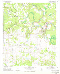
1970 · Gainesville
USGS Topo · 1:24,000
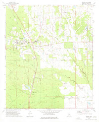
1973 · Scooba
USGS Topo · 1:24,000
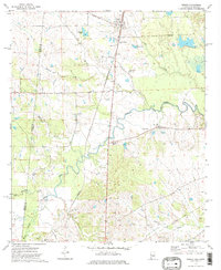
1973 · Geiger
USGS Topo · 1:24,000
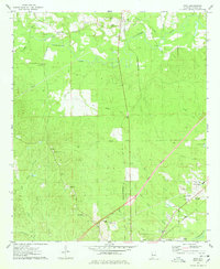
1974 · Boyd
USGS Topo · 1:24,000
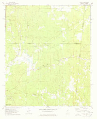
1974 · Tamola
USGS Topo · 1:24,000