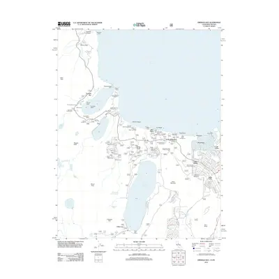
2012 Map of Emerald Bay
USGS Topo · Published 2012About this map
Vikingsholm stands as a prominent landmark on the shores of Emerald Bay, anchor to a landscape defined by recreational development and Sierra Nevada hydrology. This 2012 survey illustrates the transition from the secluded alpine environment of Fallen Leaf Lake to the more densely settled corridors of Tahoe Valley and Tahoe Keys. The map details an extensive network of public lands and organized camps, including Camp Richardson and Camp Shelly, which have served as focal points for seasonal residency for decades. Between the high granite of Mount Tallac and the shores of Lake Tahoe, the settlement pattern follows the contours of the basin, showing the residential expansion at Tallac Village and Gardner Mountain. Modern infrastructure like the Fallen Leaf Marina and Angora Lookout indicate the managed nature of this high-elevation forest and lakefront interface.
Find a feature on this map
108 named features on this map. Tap any name to fly to it.
Don’t see what you’re looking for? This feature index may not catch every label — zoom into the map to look around manually.
Map Details
Editions of this 2012 Emerald Bay Map
This is the sole edition of this map. No revisions or reprints were ever made.
Other maps of this area

1889 · Pyramid Peak
USGS Topo · 1:125,000

1889 · Markleeville
USGS Topo · 1:125,000

1891 · Carson
USGS Topo · 1:125,000

1891 · Markleeville
USGS Topo · 1:125,000

1891 · Truckee
USGS Topo · 1:125,000

1891 · Pyramid Peak
USGS Topo · 1:125,000

1893 · Carson
USGS Topo · 1:125,000

1893 · Markleeville
USGS Topo · 1:125,000

1893 · Truckee
USGS Topo · 1:125,000

1895 · Pyramid Peak
USGS Topo · 1:125,000