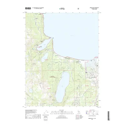
2018 Map of Emerald Bay
USGS Topo · Published 2018About this map
Emerald Bay and the shoreline of southwestern Lake Tahoe dominate this 2018 survey, highlighting the geography of high-elevation glacial carved basins. The iconic Fannette Island sits at the center of the bay, while the dramatic terrain rises sharply toward Mt Tallac and Jakes Peak in the Eldorado National Forest. This modern record reveals the dense network of recreation and access, from the high-country paths of the Bayview Trail and Floating Island Trail to the waterfront development at Tahoe Keys.
Find a feature on this map
124 named features on this map. Tap any name to fly to it.
Don’t see what you’re looking for? This feature index may not catch every label — zoom into the map to look around manually.
Map Details
Editions of this 2018 Emerald Bay Map
This is the sole edition of this map. No revisions or reprints were ever made.
Other maps of this area

1889 · Pyramid Peak
USGS Topo · 1:125,000

1889 · Markleeville
USGS Topo · 1:125,000

1891 · Carson
USGS Topo · 1:125,000

1891 · Markleeville
USGS Topo · 1:125,000

1891 · Truckee
USGS Topo · 1:125,000

1891 · Pyramid Peak
USGS Topo · 1:125,000

1893 · Carson
USGS Topo · 1:125,000

1893 · Markleeville
USGS Topo · 1:125,000

1893 · Truckee
USGS Topo · 1:125,000

1895 · Pyramid Peak
USGS Topo · 1:125,000